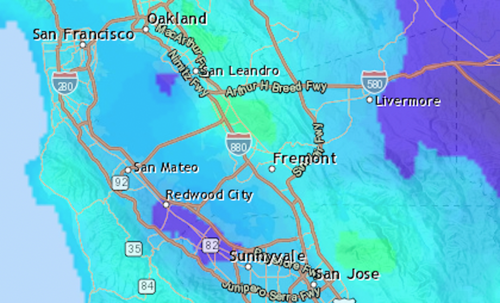
UPDATE: The Bay Area has been drenched by two significant waves of rain this week, with some areas receiving up to 4.06 inches of rainfall, raising urgent concerns about potential flooding. From November 15 to November 20, the National Weather Service reported staggering totals across the region.
Areas hardest hit include the Peninsula and South Bay, where Windy Hill recorded the highest amount at 3.15 inches. As the rain subsides, officials are warning residents to stay vigilant, as the ground remains saturated and storms have generated hazardous ocean waves.
In the East Bay, Mount Diablo saw 2.18 inches, while Richmond received 1.94 inches. The North Bay also faced heavy precipitation, with Mount Tamalpais reaching 3.04 inches.
The National Weather Service forecasts that after Thursday’s rainfall, the Bay Area can expect dry conditions for at least a week. However, the immediate aftermath of the rain raises concerns for residents in flood-prone areas.
Here are the rainfall totals from late Saturday through Thursday:
Peninsula & South Bay:
– Windy Hill: 3.15 inches
– Mount Hamilton: 2.72 inches
– Coyote Reservoir: 2.68 inches
East Bay:
– Mount Diablo: 2.18 inches
– Richmond: 1.94 inches
– Tilden Park: 1.88 inches
North Bay:
– Mount Tamalpais: 3.04 inches
– Woodacre: 2.31 inches
As the rain departs, residents are encouraged to monitor local forecasts and prepare for potential flooding in low-lying areas. The National Weather Service advises caution in navigating roads, as water levels may remain elevated for some time.
Stay tuned for updates and more information on how these conditions could impact local communities in the coming days.