URGENT UPDATE: Las Vegas residents and visitors should prepare for above-normal temperatures and gusty winds as the National Weather Service (NWS) warns of conditions lasting through next week. Reports confirm that peak gusts of 25 to 35 mph will sweep down the Colorado River Valley, notably impacting areas between Laughlin and Needles.
The NWS has highlighted that these winds will create significant waves of 2 to 4 feet on Lake Mohave, posing a serious risk for small boat operators. Boaters are urged to exercise caution in the face of these conditions.
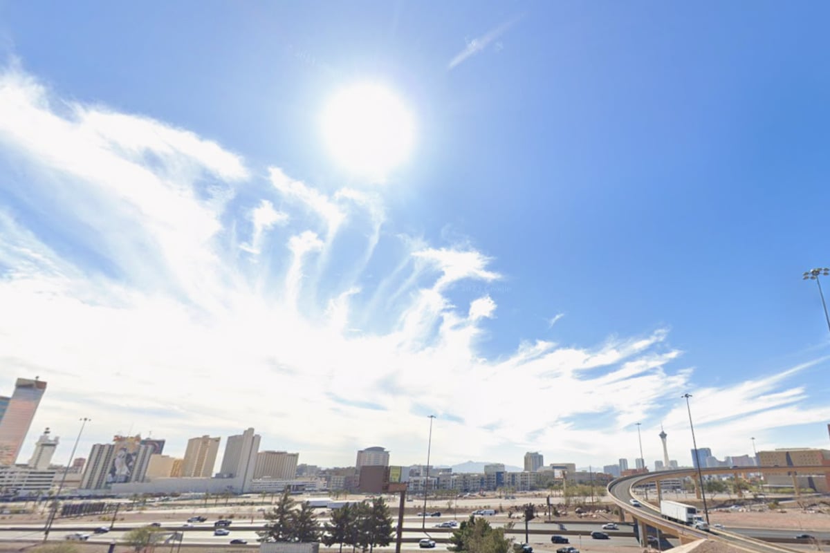
Across Southern Nevada, dry and warm weather will persist, although lighter winds are expected in other regions, including northwest Arizona and southeast California. As a ridge of high pressure over the Pacific Coast begins to weaken, temperatures are predicted to stabilize closer to normal by the end of the week.
In Death Valley, the forecast indicates a temporary relief from typical temperature inversions today due to the heightened winds. However, as the winds calm tomorrow, these inversions are likely to return, leading to cooler temperatures.
For aviators, the outlook remains favorable. VFR (Visual Flight Rules) conditions are anticipated at Harry Reid International Airport, with morning light winds transitioning to northeast gusts of 8 to 12 knots in the afternoon. While VFR conditions will continue, stronger winds in the river valley may create challenges at nearby airports such as KIFP and KEED, where gusts could reach 35 knots.
Weather spotters are actively encouraged to monitor and report significant conditions as part of standard operating procedures. With no precipitation expected for the Mojave Desert, current weather patterns are likely to keep moisture at bay. While a low-pressure system near Baja might hint at future moisture, it is not forecasted to impact Southern Nevada.
Residents and visitors are advised to stay updated on weather conditions as the situation develops. This is a critical time to remain informed, especially for those planning outdoor activities or traveling in the region. Stay tuned for further updates as authorities continue to monitor and report on these evolving weather patterns.