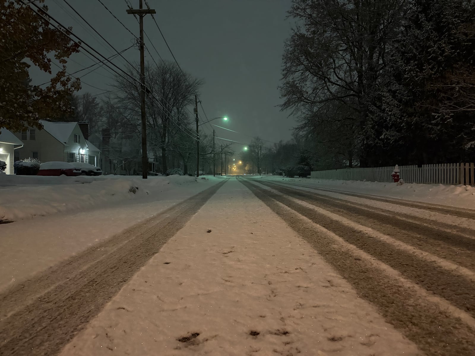
URGENT UPDATE: Northeast Ohioans woke up to a significant winter storm early this morning, December 2, 2025, as snow blanketed the region, creating hazardous conditions for commuters and leading to widespread school closures. The National Weather Service reports 2 to 4 inches of snow accumulation across the area, with the highest total of 4 inches recorded in Cleveland’s Kamms Corner around 7:30 a.m.
Commuters faced a messy morning drive, as many east- and west-side suburbs reported similar snowfall totals. Richmond Heights recorded 3.9 inches, while Russell Center, North Ridgeville, and Chardon each received 3.5 inches. Snowfall between 3 and 3.4 inches was common across Cuyahoga, Lake, Geauga, Summit, Medina, and Portage counties, with Strongsville and University Heights reporting 3.4 inches.
The main batch of the storm has now moved east, but meteorologists warn that lake-effect snow could redevelop this afternoon as colder northerly winds sweep over Lake Erie. Residents in lakeshore communities from Cleveland eastward may experience brief bursts of snow that could reduce visibility, particularly in localized areas.
As high pressure builds in tonight, conditions are expected to stabilize before shifting southeast on Wednesday. Although southwesterly winds will strengthen through the afternoon, no significant new snowfall is anticipated.
Experts advise residents to remain cautious during their commutes and keep updated with the latest weather conditions. Stay tuned for further updates as the situation evolves.
For ongoing developments, check local weather updates and school closure announcements. This storm highlights the unpredictability of winter weather and its immediate impact on daily life in Northeast Ohio.