UPDATE: The Big Island of Hawaii is bracing for a potentially drier-than-expected wet season, even as recent weeks saw increased rainfall. Forecasters from the National Weather Service warn that while some areas received rain, the overall outlook for the wet season is less optimistic than previously hoped.
Tina Stall, a hydrologist with the National Weather Service, confirmed earlier today that weak La Niña conditions are expected to persist through winter and into spring, but they are projected to remain on the weaker side. “The correlations tend to decrease as you go eastward,” she stated, emphasizing that the Big Island may not benefit as much from the anticipated rainfall.
As of now, most of the Big Island is grappling with moderate drought conditions, particularly in areas outside the Kona district. Stall noted, “At this point, most of the island is under moderate drought or worse,” which means that despite forecasts for above-normal rainfall across the state, the Big Island’s chances for relief are significantly lower.
In **October**, Hilo International Airport recorded 8.4 inches of rain, which is about 80% of its monthly average. However, during the dry season from May to September, the airport saw only 17.92 inches, or 41% of its usual rainfall. By the end of October, the total measured rainfall was just 46.57 inches for the year—half of the normal 93.93 inches expected.
Despite the recent rains, Stall cautions that “that’s only part of the picture.” She highlighted that long-term stream flows remain below normal, indicating that drought conditions are still firmly in place. “It might look green, but there’s still drought conditions,” she added.
The current dry season ranks as the **third-driest** in the last three decades, trailing only **2010** and **2007**, further complicating the situation for residents and officials alike. Between **October 22 and 24**, trade winds intensified, leading to critical fire weather conditions across the interior and leeward zones of the Big Island, prompting several Red Flag Warning days.
Hawaii Fire Department Chief Kazuo Todd stated his team is on high alert. “When you go into a Red Flag period, we have an operating procedure,” he explained, noting that they increase staffing levels and readiness to combat potential wildfires. Todd also acknowledged the recent rainfall in East Hawaii, noting, “We’ve seen some rain up in the Kaala fire region,” although he remains wary of ongoing fire threats.
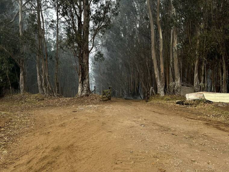
The Hamakua fire, which has burned approximately 500 acres near Kaala Road, continues to be a concern. “There’s no open flames,” Todd remarked, explaining that the fire is smoldering underground, posing a risk of re-ignition if not monitored closely.
While the Kona and Kohala coastlines remain largely unaffected by drought, with some areas experiencing above-average rainfall, the overall forecast suggests that conditions could still improve. The National Oceanic and Atmospheric Administration’s Climate Prediction Center has indicated a possibility of above-normal rainfall through early spring, providing a glimmer of hope for drought relief.
Stall concluded with cautious optimism, stating, “With them calling for above-normal rainfall, we can only hope that comes true.” The community eagerly awaits further updates as the situation develops.
Stay tuned for more updates as the weather patterns continue to evolve.